
Population and social vulnerability in Spain
Map
DOI:
https://doi.org/10.26754/ojs_geoph/geoph.2023759936Keywords:
Thematic mapping, Social Vulnerability Index, Basic Health AreasAbstract
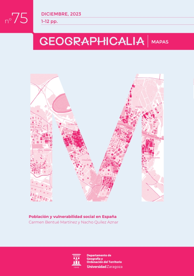
Social vulnerability is a multidimensional phenomenon based on the interaction of factors of a demographic, socio-economic and environmental nature. Its spatial manifestation generates different vulnerability profiles and a wide variability of resulting spatial processes. The identification of spatial patterns of vulnerability is important to support territorial decision-making aimed at reducing social inequalities, acting at different thematic and spatial scales. This paper presents the cartographic process followed for the elaboration of a map on social vulnerability in Spain in which a synthetic index of social vulnerability is represented at the scale of Basic Health Zone. The cartographic results show that the spatial distribution of social vulnerability is not homogeneous and that there are specific vulnerability profiles. These profiles are differentiated by the role -protective or risky- played by indicators on the demographic structure by sex, age and nationality and the socio-economic level of the population, depending on the territory in question.
Downloads
Downloads
Additional Files
Published
How to Cite
Issue
Section
License
Copyright (c) 2023 Geographicalia

This work is licensed under a Creative Commons Attribution-NonCommercial-NoDerivatives 4.0 International License.
- La revista conserva los derechos patrimoniales (copyright) de las obras publicadas, y favorece y permite la reutilización de las mismas bajo la licencia indicada en el punto 2.
- Las obras se publican en la edición electrónica de la revista bajo una licencia Creative Commons Reconocimiento-NoComercial-SinObraDerivada 3.0 España (texto legal). Se pueden copiar, usar, difundir, transmitir y exponer públicamente, siempre que se cite la autoría, la url, y la revista, y no se usen para fines comerciales.
- Los autores están de acuerdo con la licencia de uso utilizada por la revista, con las condiciones de autoarchivo y con la política de acceso abierto.
